- Home /
- University /
- Infoservice /
- Press Releases /
- Ground nesting birds: Satellite data simplifies the quality analysis of nest-sites
Research
Ground nesting birds: Satellite data simplifies the quality analysis of nest-sites

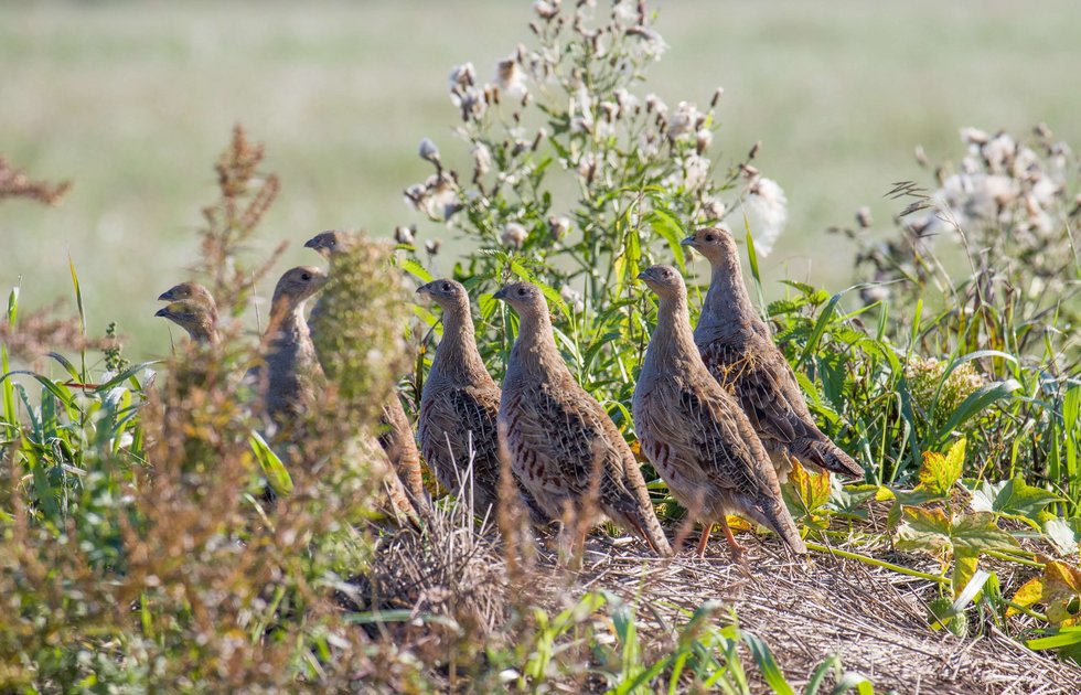
Populations of ground breeding birds, including partridges (Perdix perdix), are declining. Measures to monitor breeding success are therefore necessary. How can we record as efficiently as possible where nesting sites are exposed to increased risks, such as predation? A study by the University of Veterinary Medicine, Vienna, published in the “European Journal of Wildlife Research” investigated this question. The probability of nest robbery was investigated. The researchers found evidence that birds in Central European agricultural landscapes could themselves be the most dangerous nest predators.
Satellite-based measurements of habitat structure are just as good as data collected locally by scientists for predicting predation on artificial nests - this is the key finding of the study that has now been published. The background to the analysis is a worrying trend: the number of ground-nesting birds has fallen drastically across Europe. The deterioration of the habitat structure in agricultural areas is one of the main reasons for this. This is because habitat structure is not only crucial for the provision of food and suitable microclimates, but also limits nest predation.
Cost-effective, time-saving and reliable alternative
In the past, the assessment of habitat structure by an on-site scientist was the most common method for identifying areas with low nest predation. However, for time, financial and logistical reasons, it is only applicable to a limited extent. Remote sensing data recorded by a satellite, for example, can solve these problems. One measure of the “greenness” of an area is the normalized difference vegetation index (NDVI), which correlates with the habitat structure. The NDVI data is available free of charge to interested users worldwide.
Satellite measurements deliver equally good results as locally recorded data
To validate the satellite measurements, the researchers conducted an experiment with artificial nests. The experiment ran for three years (2019, 2020, 2023) in Baden near Vienna to test the relationship between NDVI and nest predators in an agricultural landscape. “We compared whether the NDVI can predict nest predation just as well as locally recorded ground cover or vegetation height. Our results show that a specific combination of monthly NDVI values produces equally good results in predicting nest predation,” says study first author Shane D. Morris from the Research Institute of Wildlife Ecology (FIWI) at Vetmeduni.
Birds as nest predators
The probability of nest predation decreased with higher NDVI values, indicating better habitat structures. This is supported by the finding that predation probability decreased with increasing ground cover - a locally recorded variable. In addition, the scientists gained another exciting insight, as study last author Claudia Bieber, head of FIWI, reports: “The reason for further studies is that we found high predation on the clutches in open areas such as open fields. As martens and foxes very specifically prefer marginal structures to search for prey, this could be an important indication that birds are significant predators here.” Overall, according to Bieber, the study shows that satellite-based measurements of habitat structure have great potential.
The article „Satellite-derived measures of habitat structure perform as well as locally recorded measures in predicting predation on artificial nests in central European agricultural landscapes“ by Shane D. Morris, Larissa Bosseler, Aldin Selimovic and Claudia Bieber was published in „European Journal of Wildlife Research“.